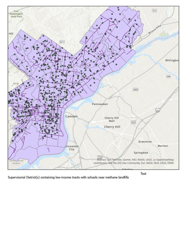
This map seeks to identify one issue regarding environmental justice in Los Angeles in that the map identifies census tracts that contain schools within 0.5 kilometers of methane-producing landfills with incomes being the lowest 50%. This map seeks to provide a solution on the question concerning what supervisory districts may contain communities which may be potentially more at risk from their environment as compared to other communities. The integration of the data on the presence of schools, landfills, and the income level will help identify such areas that may be prone to hazardous environments. The clustering of points within the census tracts that have low incomes suggests an environment of people at socioeconomic disadvantages.
GIS SKILLS USED
- Spatial selection (Select by Location)
- Attribute queries (income filtering for bottom 50%)
- Buffer analysis (0.5 km around landfills)
- Layer overlay and intersection
- Working with polygon and point data
- Data classification and filtering
- Map layout design and symbology